Route des Grandes Alpes
At the end of August 2023 I cycled along the Route des Grandes Alpes (“route of the high alps”) from Geneva to Nice. The route is quite famous for cyclist and motorbikes alike and has a dedicated website that describes several itineraries.
All of the variants pass by iconic Tour de France and Giro d’Italia climbs such as Col du Galibier, Alpe d’Huez or Col de la Croix de Fer (Climb List: Legendary Climbs of the Tour de France). The cycling races have passed these many times and they were often the showground of epic battles (for example: Patani vs. Ulrich at Col du Galibier [1998]).
All of this to say that no matter which itinerary you do, it will most certainly be a wonderful adventure.
In my case, I put together the following route:
- Day 1: Geneva - Albertville (115km)
- Day 2: Albertville - Briancon (161km)
- Day 3: Briancon - Barcelonette (101km)
- Day 4: Barcelonette - Roquebiliere (130km)
- Day 5: Roquebiliere - Nice / Antibes (113km)
# Day 1
On the first day I was lucky enough to be able to start directly at my doorstep in Geneva. I passed the iconic flower clock at the shore of Lac Léman and (slowly) started escaping the morning chaos in the city (slowly, mind you).
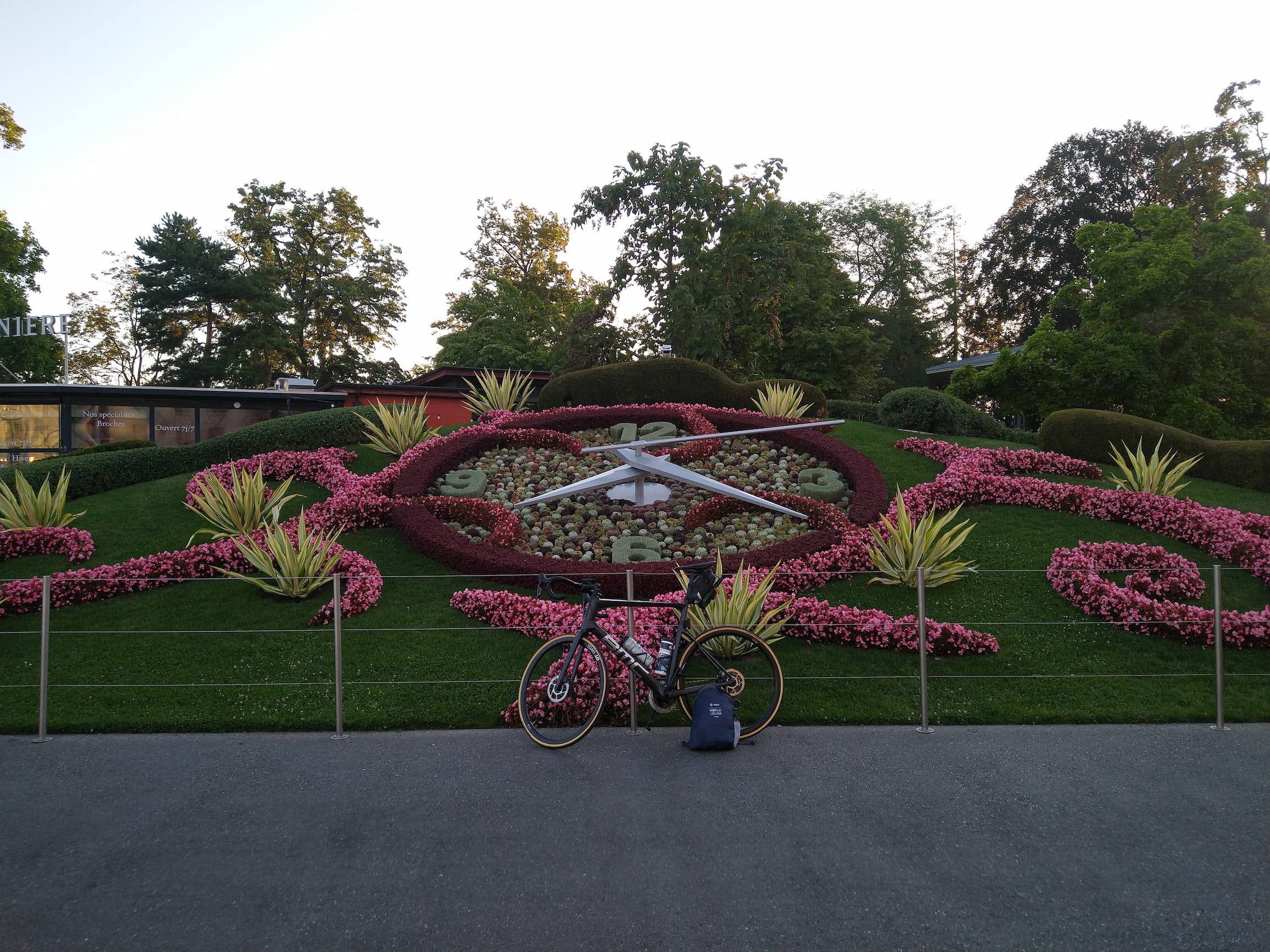
In the picture above you can also see the only equipment I had with me for the week: a small backpack with some spare clothes and shoes, bathroom supplies, electronic chargers - plus the cycling gear I was wearing. My bike for this week was a BMC Teammachine SLR.
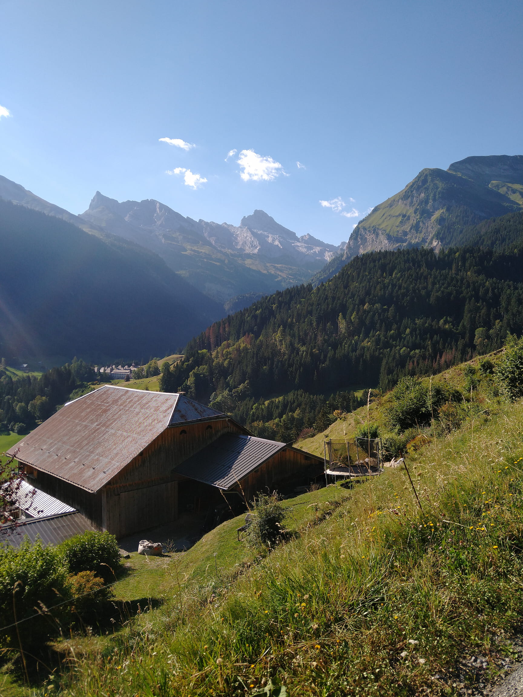
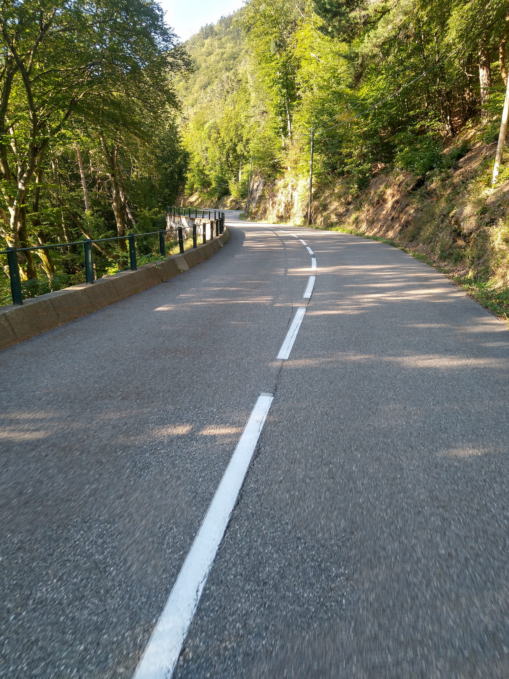
Usually the Route des Grandes Alpes starts in Thonon-les-Bains and takes in a couple of cols (mountain passes) of the Chablais Mountains. Since I’m already familiar with that area, I skipped this part and followed along the river Arve to Bonneville - this way I would have more energy for the rest of my journey. Shortly after, the 16 kilometers climb to the Col de la Colombière started.
Climbing through the village Le Reposoir, looking towards the Aravis massif
The peaceful setting of this climb set a wonderful atmosphere for the rest of the trip.
At the top of the Col de la Colombière
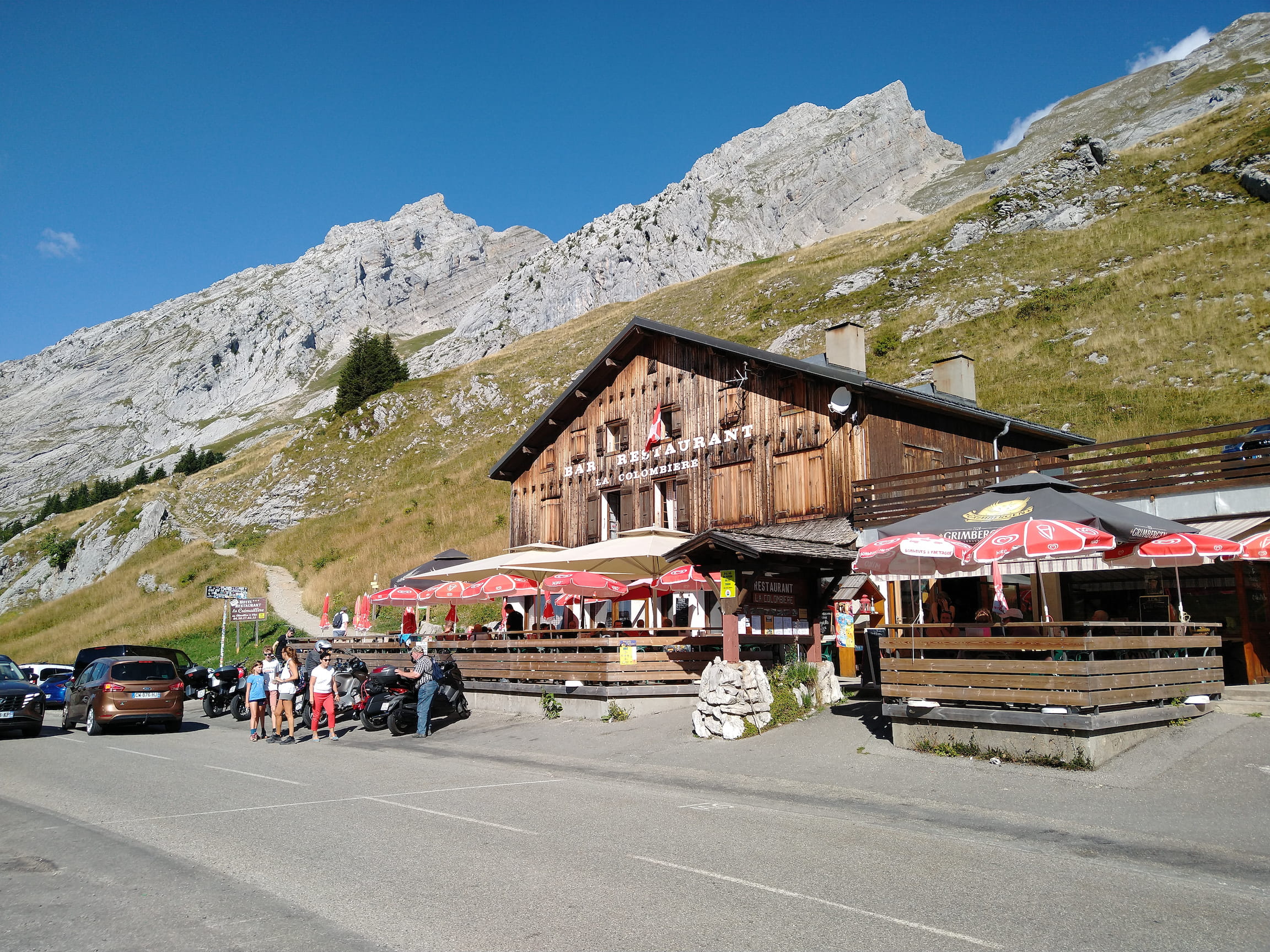
I did my lunch stop in La Clusaz to refuel before tackling the Col des Aravis in the early afternoon. It’s not a very long climb from La Clusaz, but there are no trees to provide any shade so the 8 kilometers were quite intense in the midday heat.
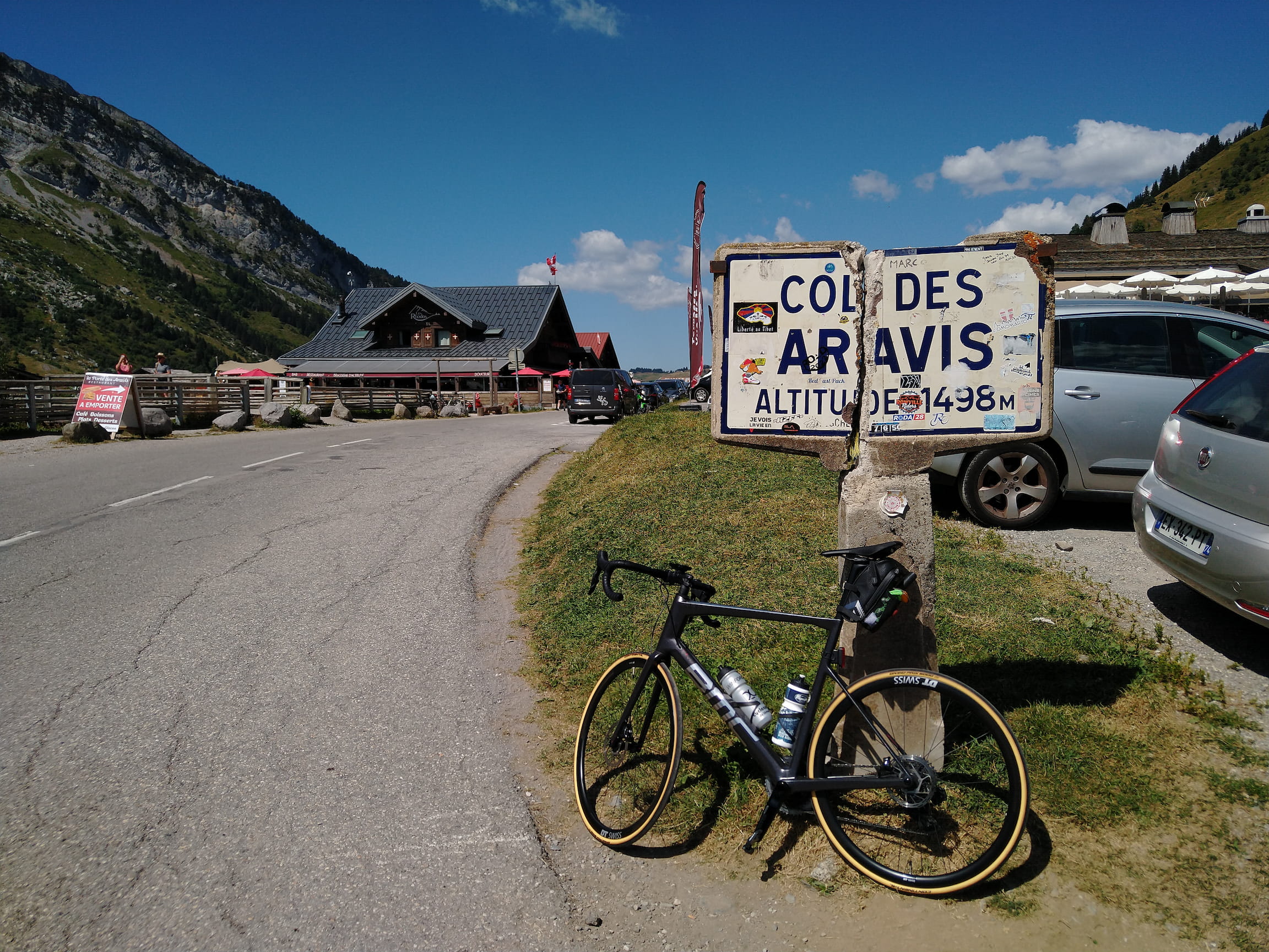
At the top I was rewarded with a view onto the highest mountain of the Alpes: the Mont Blanc.
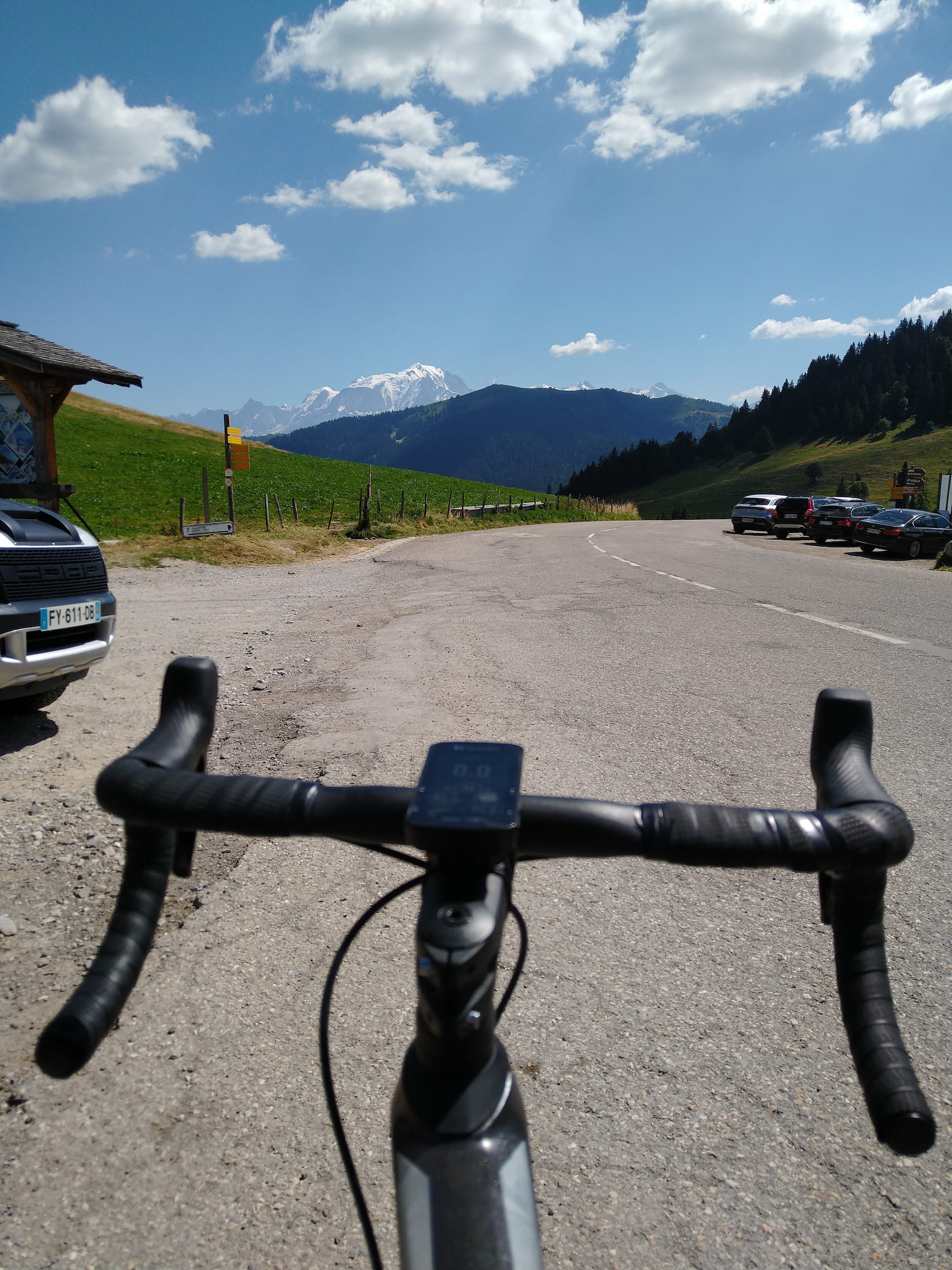
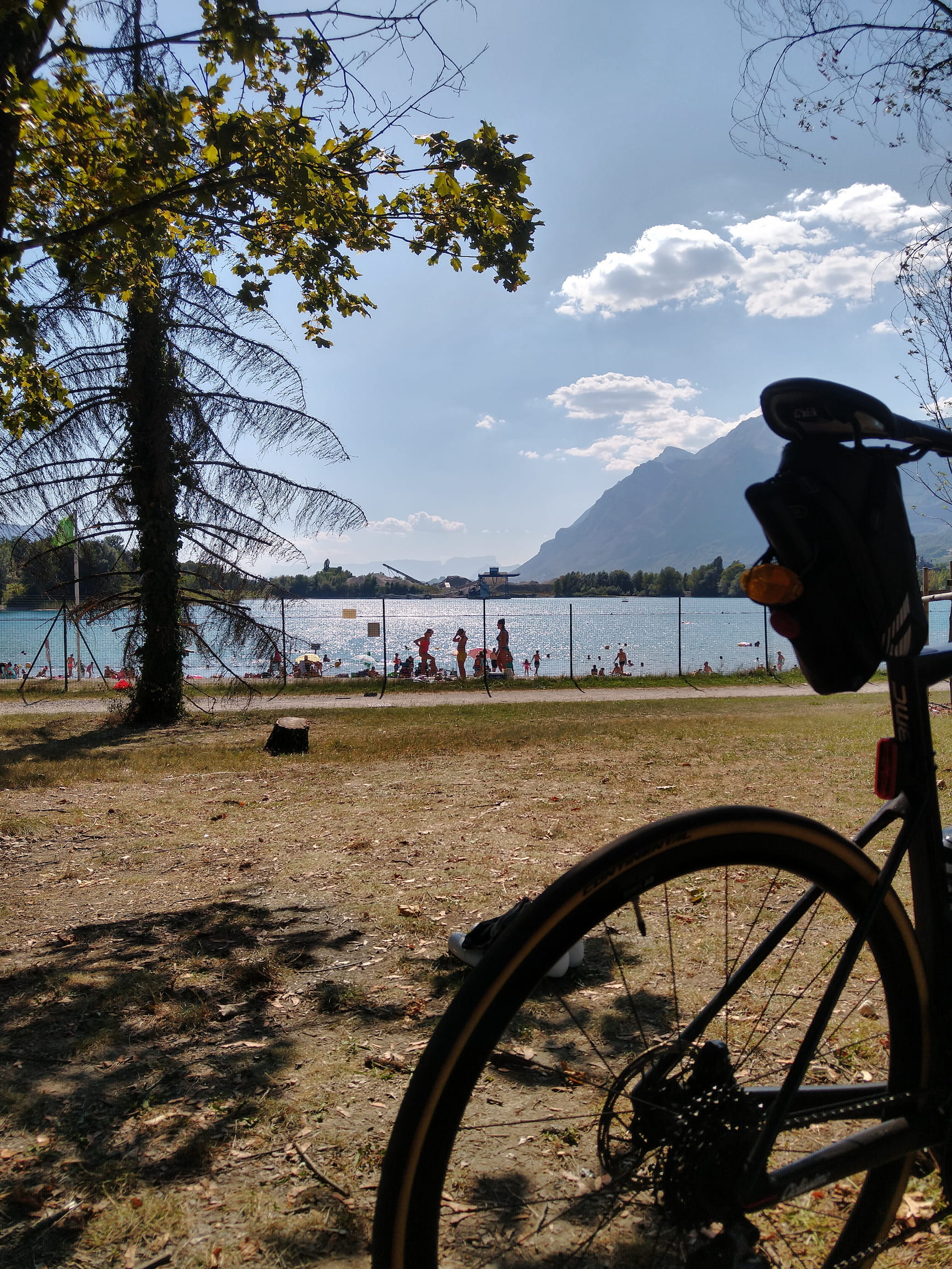
The descent from Col des Aravis to La-Giettaz-en-Arravis was very technical with lots of small turns and twists while at the same time having a good amount of fast flowing sections - highly recommended! From there onward I followed the valley floor to Albertville, where I relaxed and cooled down at the artificial excavation lake Gringon.
# Day 2
I started my journey early the next morning because the second day was a big day: 160 kilometers with 4500 meters of vertical elevation were waiting for me.
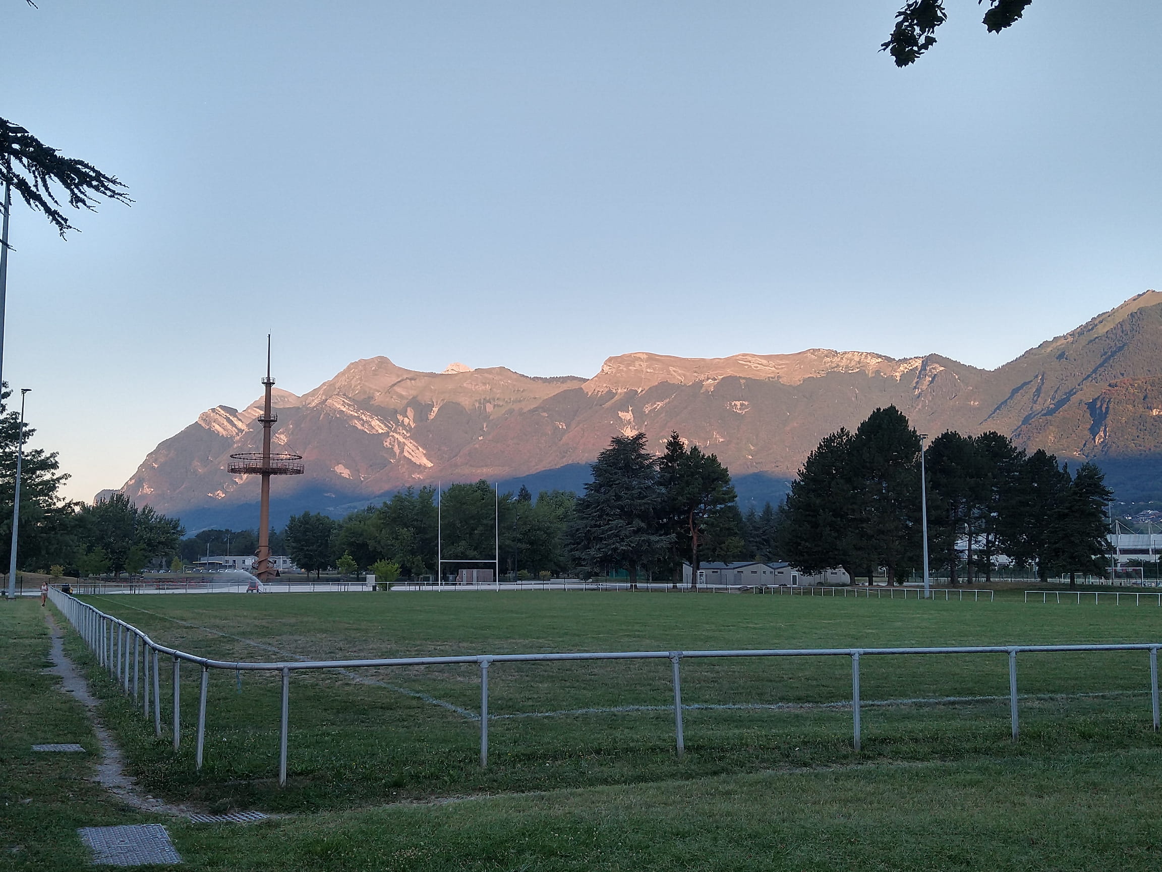
Sunrise in Albertville
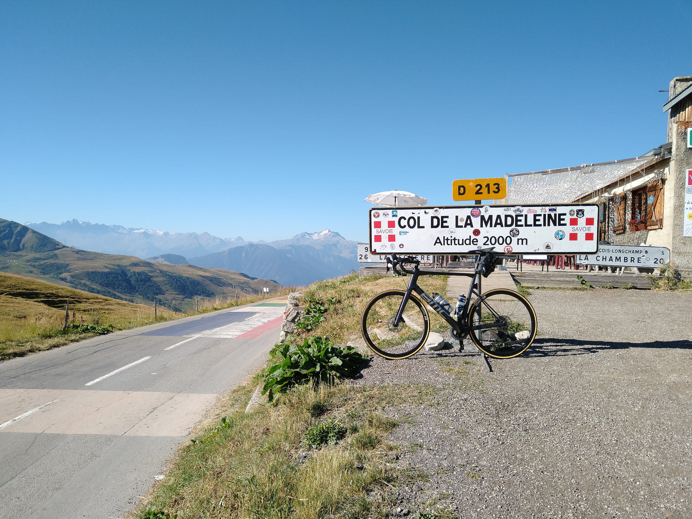
On the first 20 kilometers I could gently warm up my legs while cycling along the Isère valley, before starting the first big climb of the day: Col de la Madeleine from Feissons-sur-Isère. This infamous Tour de France climb is 25 kilometers long and has an average gradient of 6% - but the average is deceptively low because in the middle there are two flat kilometers, whereas most kilometers are between 7 and 10 percent gradient. Nevertheless, I can assure you that the climb is totally worth it: a small and quiet road, sleepy mountain villages, surrounded by beautiful scenery - the ingredients for a perfect climb.
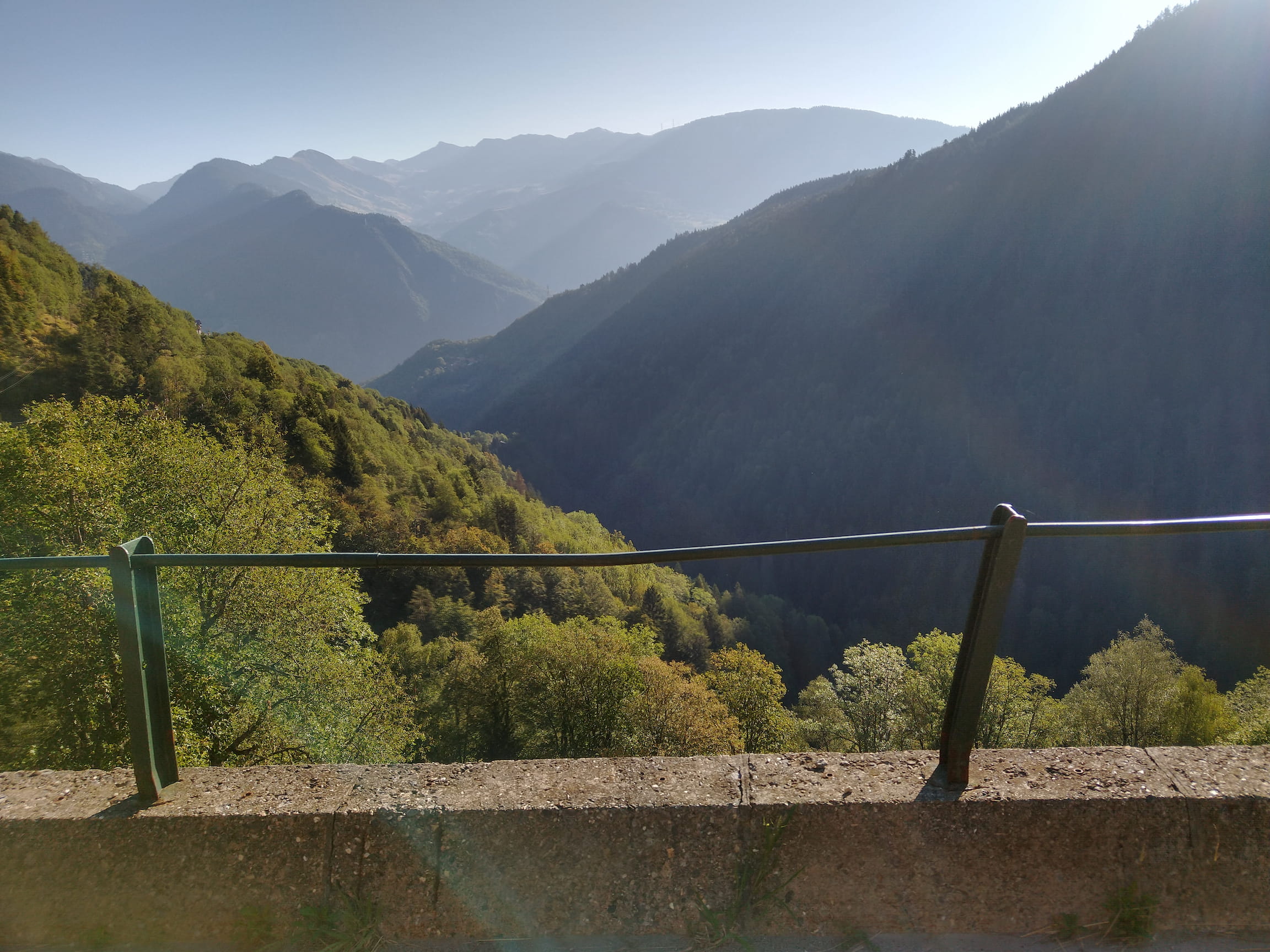
Since this was the first high altitude col of the journey, the landscape, the depth, the view were almost frighteningly touching.
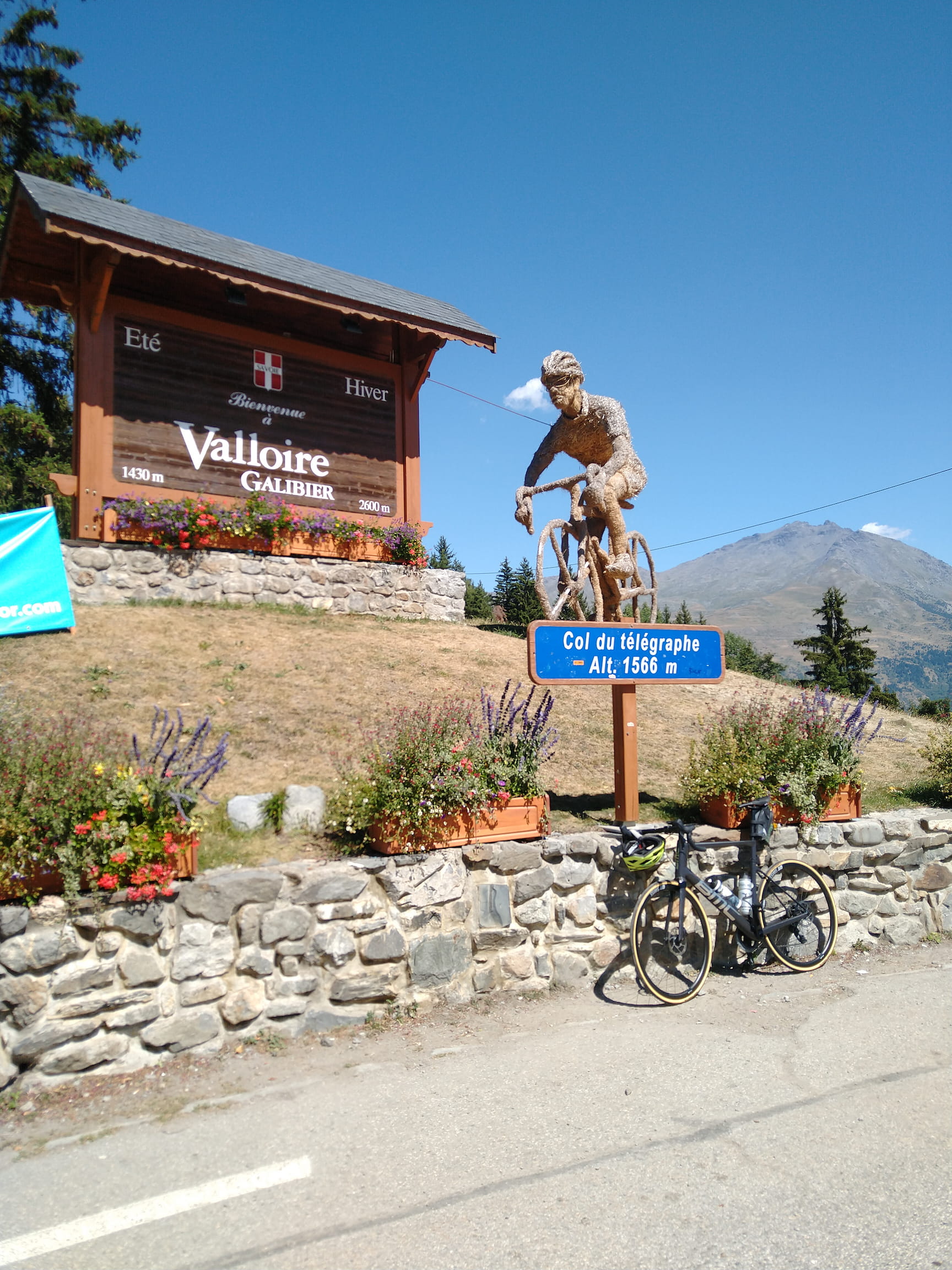
After descending down towards La Chambre - another beautiful descent with a healthy mix of technical twists and fast flowing corners - I stopped for lunch in Saint-Jean-de-Maurienne. There are a lot of different lunch options available in this small town, the only difficulty was finding one that would serve me food at 11 am. But I couldn’t wait any longer since the second big challenge of the day awaited me: the Col du Telegraphe from Saint-Michel-de-Maurienne followed by the mighty Col du Galibier - 34 kilometers in total!
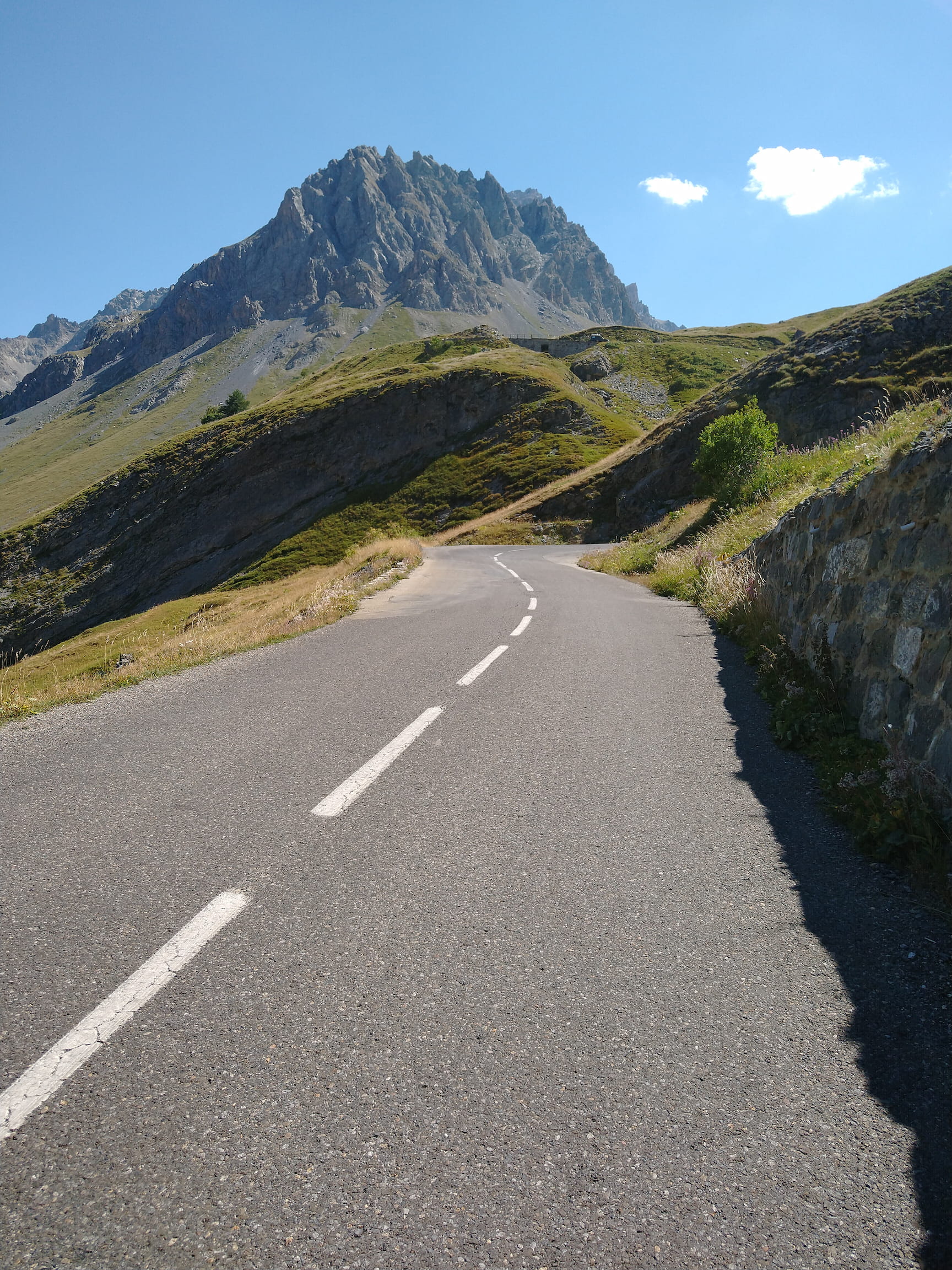
Climbing the last 15 kilometers from Vailore to the Col du Galibier was a tough challenge: not only did I already have significant kilometers and altitude in my legs, also the afternoon sun and heat made it even more challenging - because above 2000 meters you won’t find any type of shade anymore.
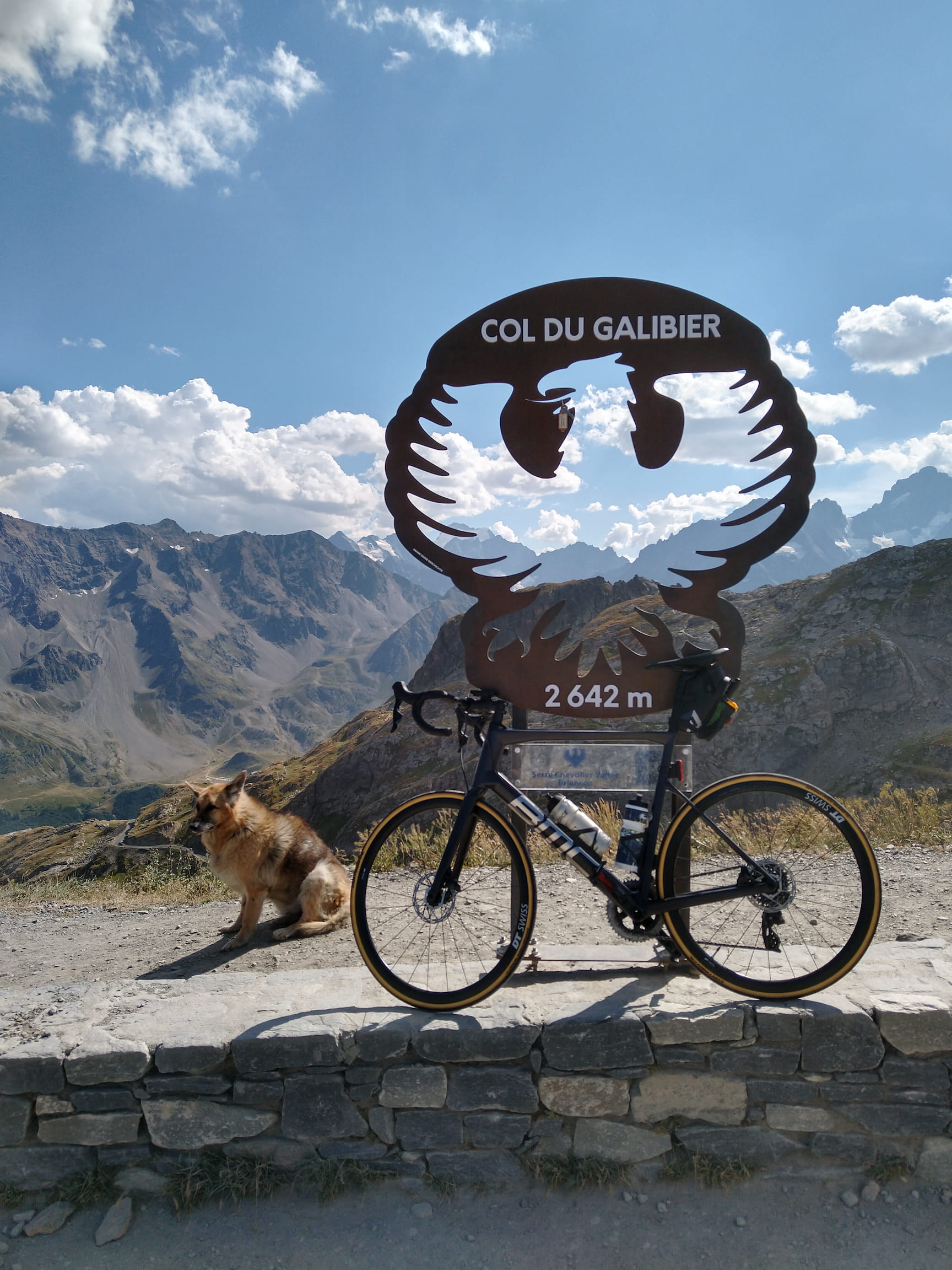
Overall, I would even say I was somewhat disappointed by this climb. The wide, two laned road (that goes all the way up to the col) was pretty busy with cars, motorcycles, campers and trucks (this was still in August during summer vacation season, mind you), so it was quite a different feeling compared to the peaceful Col de la Madeleine in the morning.
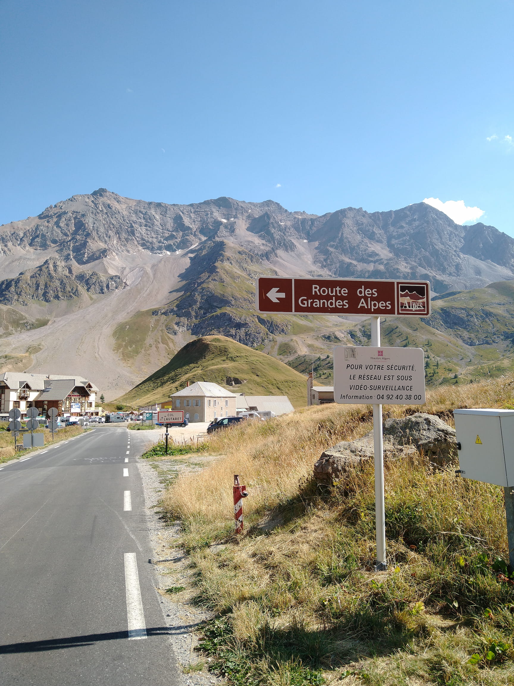
I also found the the descent from Col du Galibier via Col du Lautaret to Briançon to be quite dull - the fact that it was going downhill all the way was definitely the “best” part, since my legs were quite toast after this long day.
GPX Track Download: day-2-to-briancon.gpx# Day 3
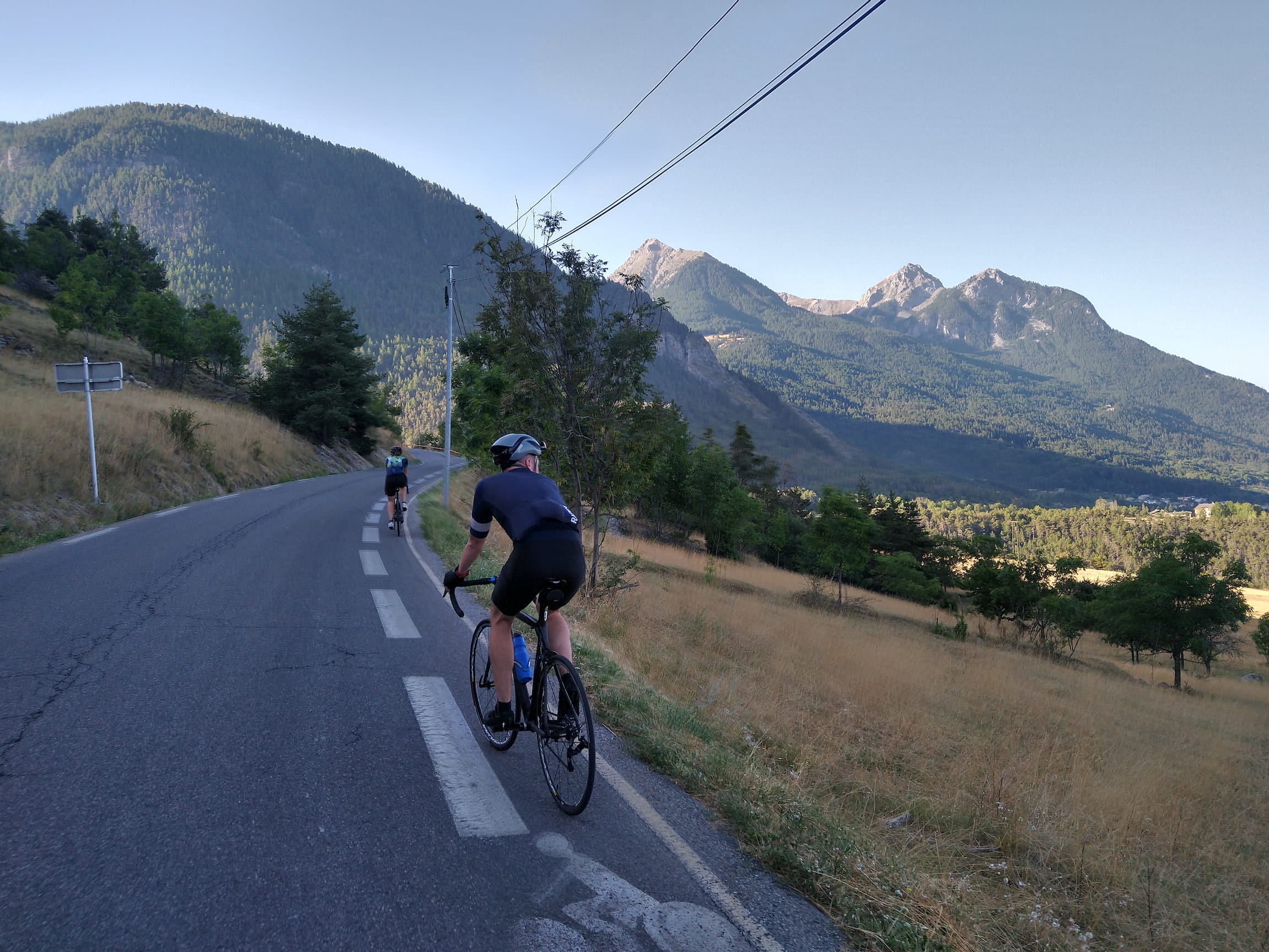
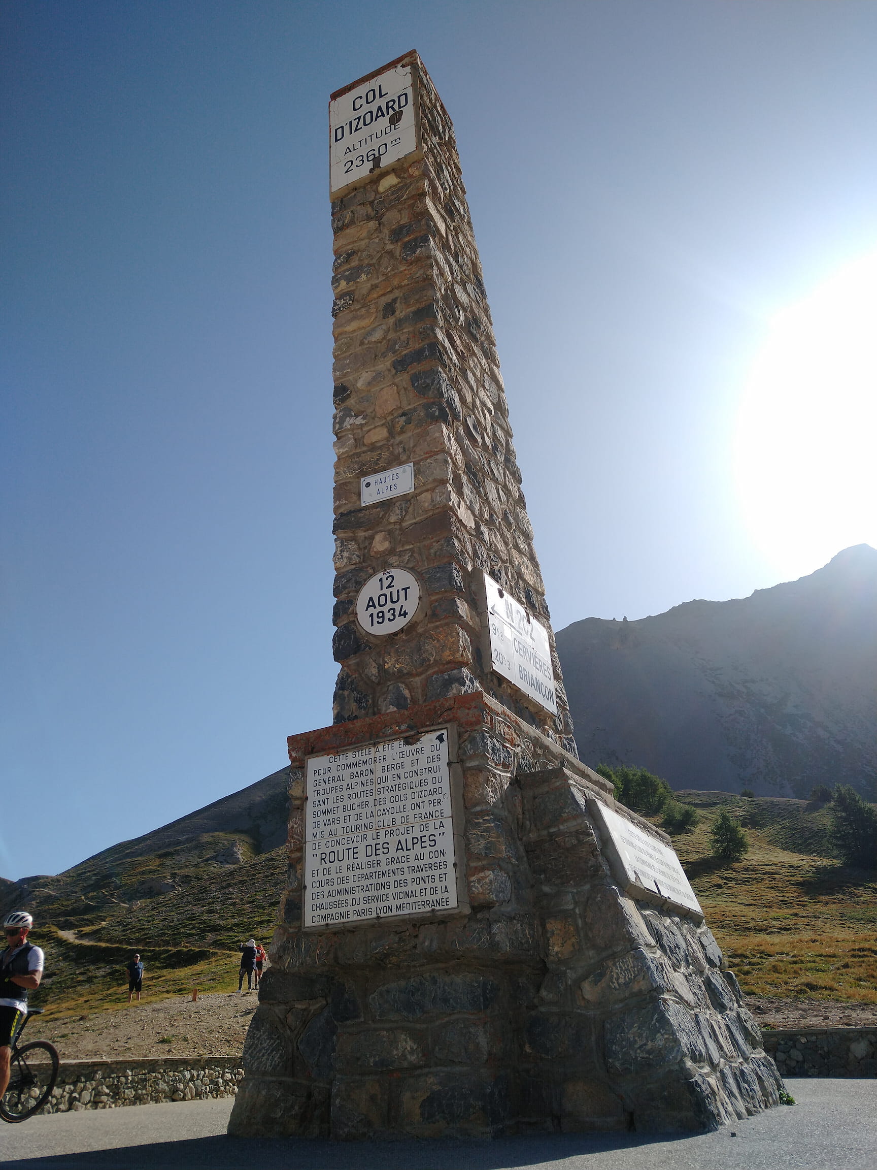
The third day was intended to be somewhat of a recovery day. Those familiar with the geography of Briançon will certainly understand that no matter which direction you exit the town, you immediately start going upwards. Thus my legs did not get any time for a gentle warmup, instead I headed straight for my first climb of the day: Col d’Izoard. Luckily, the first few kilometers are still somewhat “gentle” (3-5%), before I hit the last 8 kilometers with an average gradient of 8%.
Climbing out of Briançon alongside fellow cyclist
This was one of the most enjoyable and rewarding the climbs I have done so far. It is definitely challenging, but never crazy hard. The road is in pristine condition and yet there are not many other vehicles going around, so you can really enjoy the peace of nature and focus on your rhythm. The countless hairpin turns towards the end of the climb allow many different views onto the beautiful scenery.
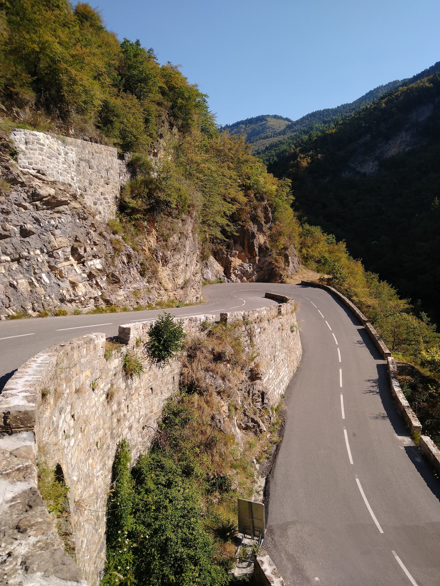
Also the descent from Col d’Izoard towards Guillestre is very nice. The first part is quite fast and technical - even dangerous since you’re riding right next to the abyss. Once you reach Guil valley, the road follows along the impressive gorge the Guil creek has carved into the mountains.
The gorge of the river Guil
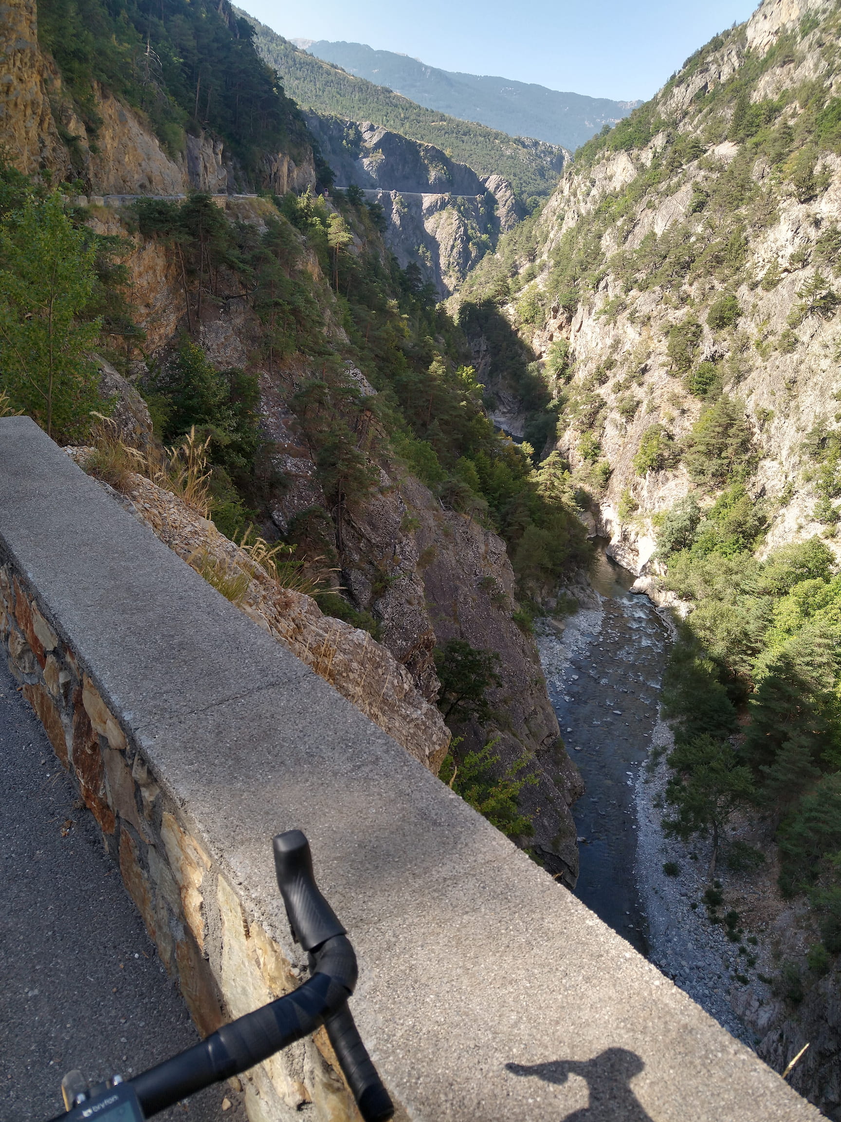
At this point I really noticed that the vegetation in the mountains became more “mediterranean” - even though I’m still far away from the sea!
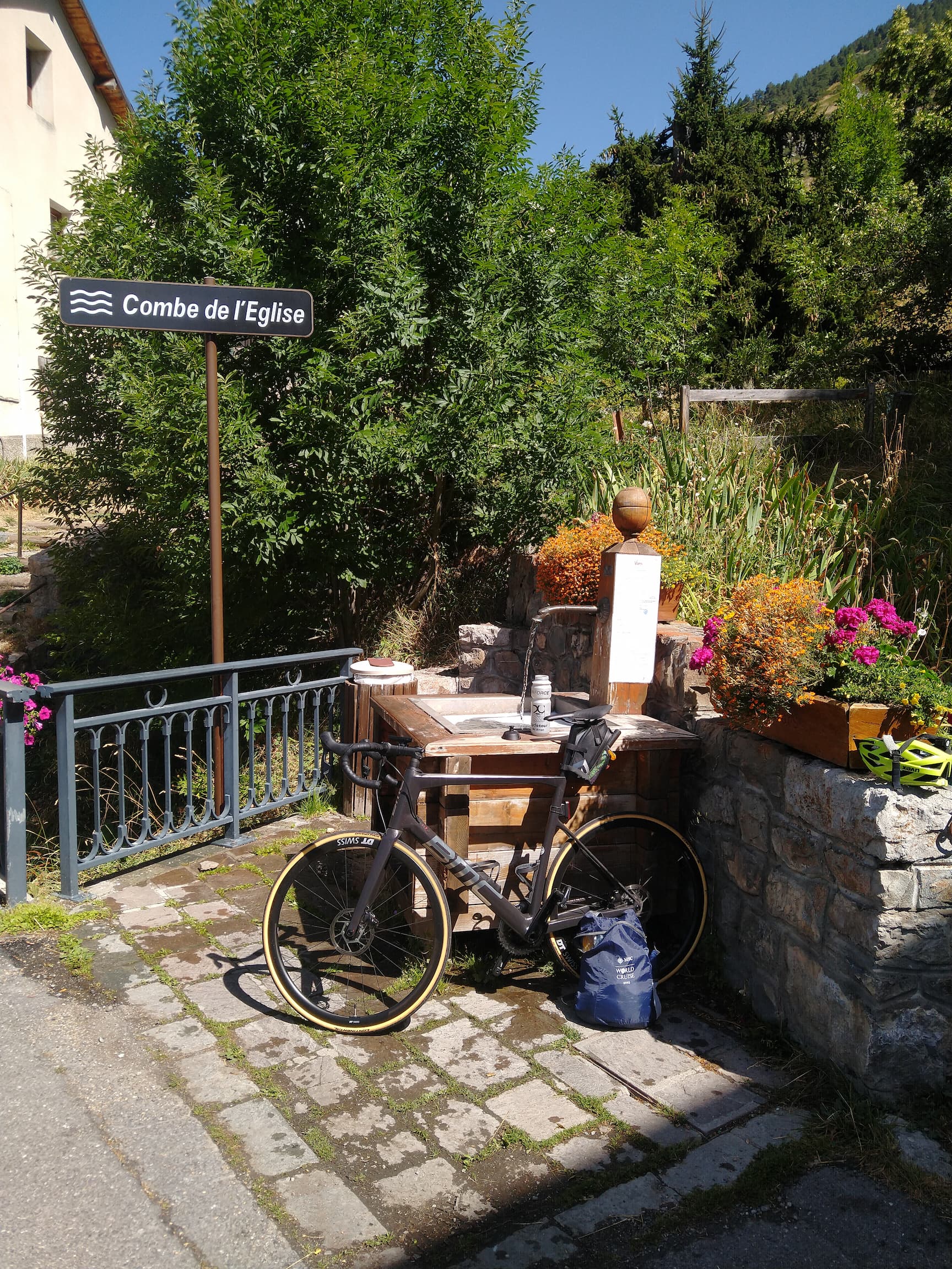
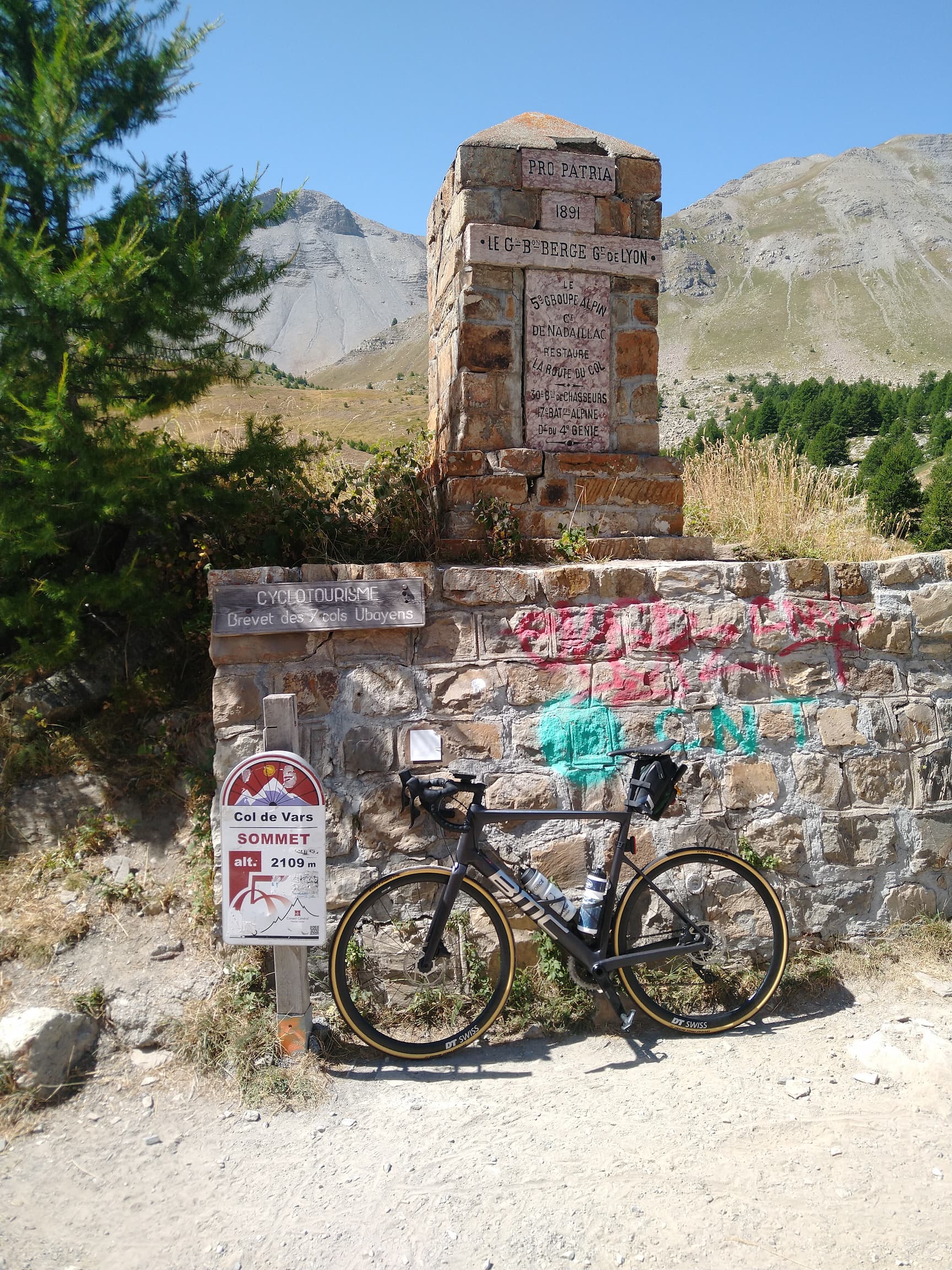
After a couple of kilometers of resting the legs while following the valley, the next climb began: Col du Vars from Guillestre.
Refilling my water bottles on the way to Col du Vars
Apart from the fact that the first kilometers are quite tough, there’s really nothing special to say about this climb in my opinion - despite the altitude, not even the summit is impressive.
At the end of my third day an amusing accommodation awaited me:
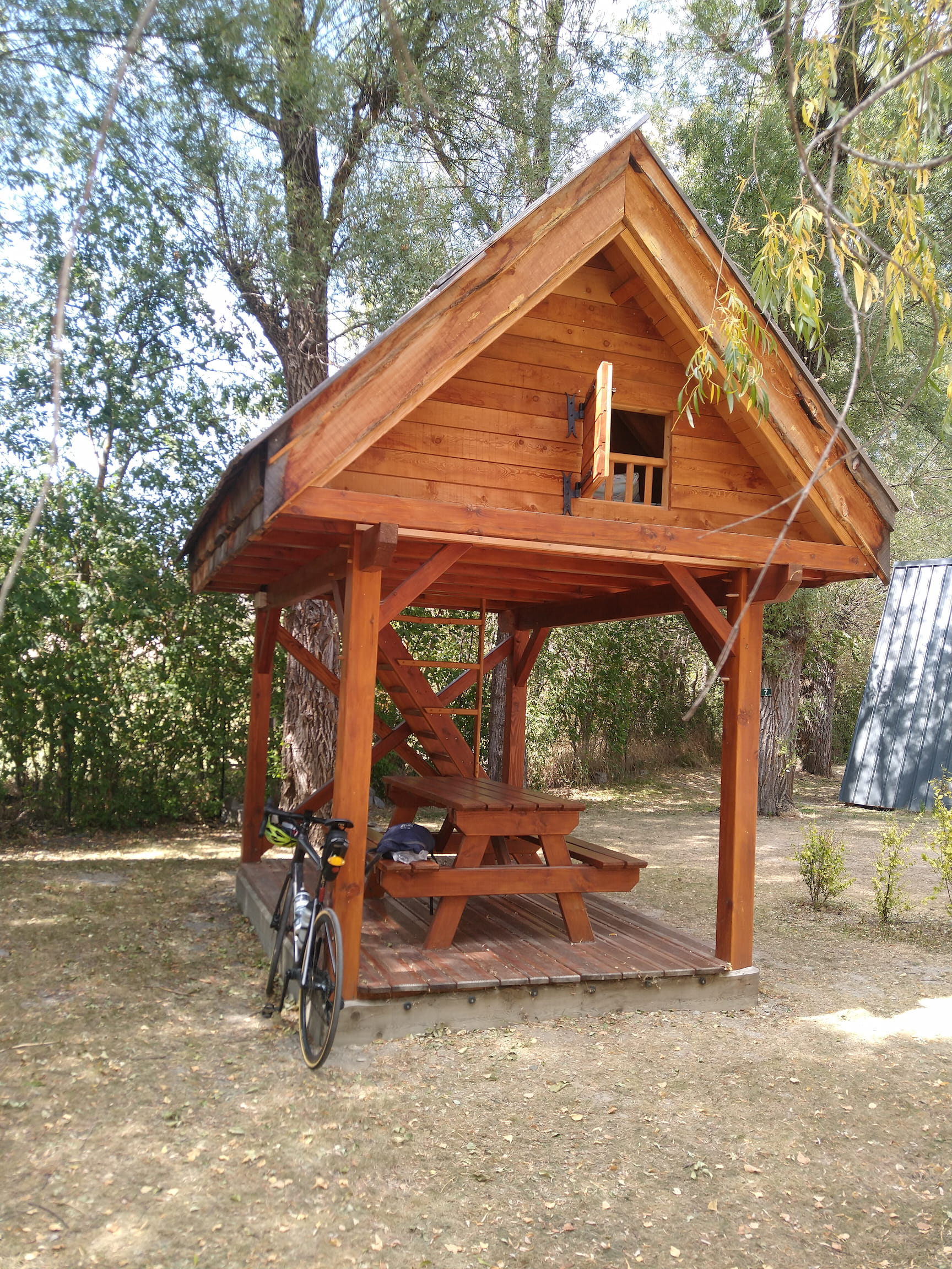
I found this little cabin on the camping site “Le Tampico” in Barcelonette. They have many other interesting types of accommodation available, so if you are in the area I highly recommend to stay there for a night. Oh, let me not forget to mention they also have a charming restaurant with a wood fired pizza oven onsite!
GPX Track Download: day-3-to-barcelonette.gpx# Day 4
Albeit shorter than the second day, the fourth day was again a big day because I reached the highest point of my journey: 2802 meters above sea level. After roughly ten kilometers of warmup on flat road, I reached the village Jausiers from where the climb to the Cime de la Bonette starts - which is marketed as “the highest through road in the Alps”.
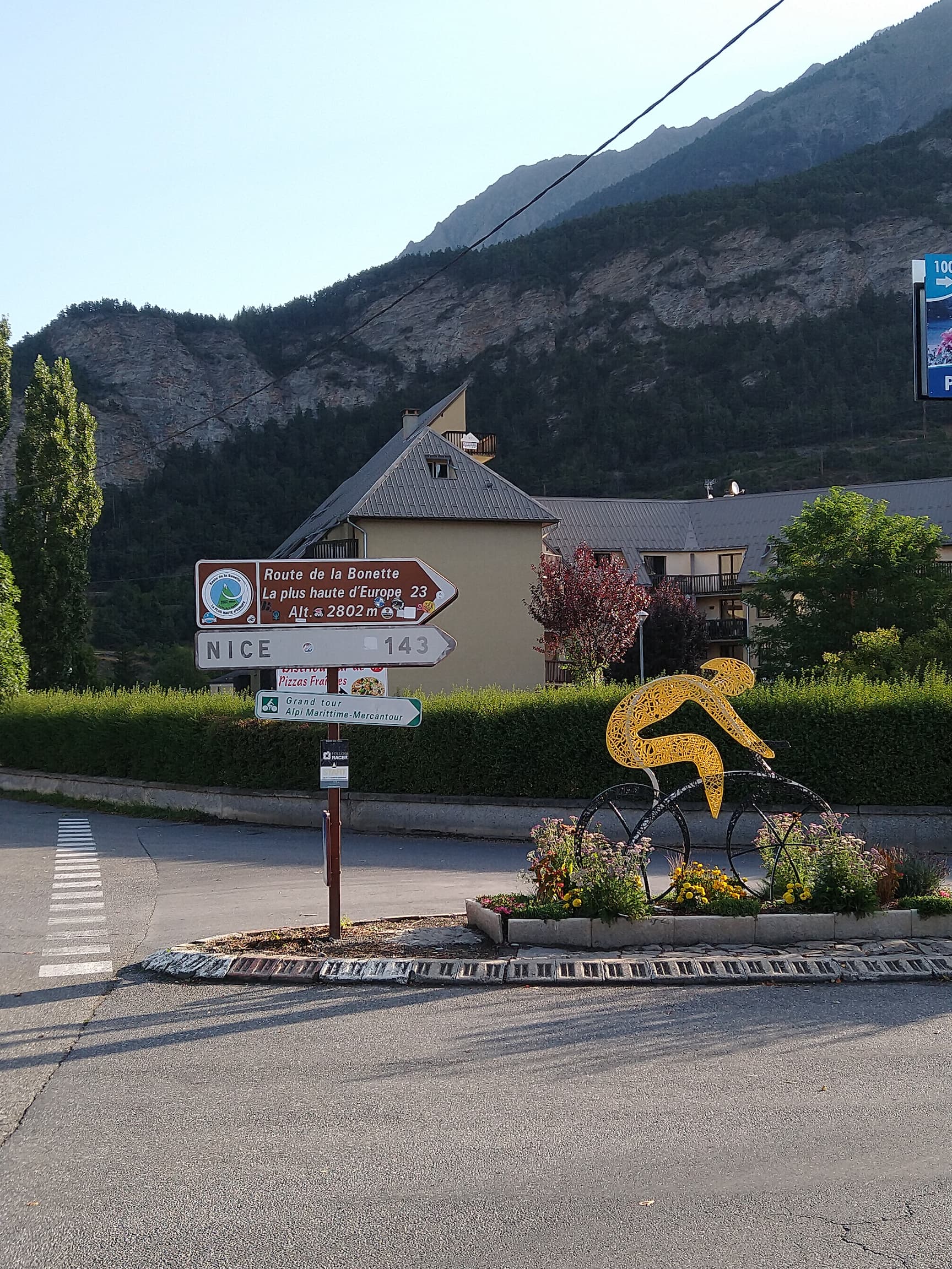
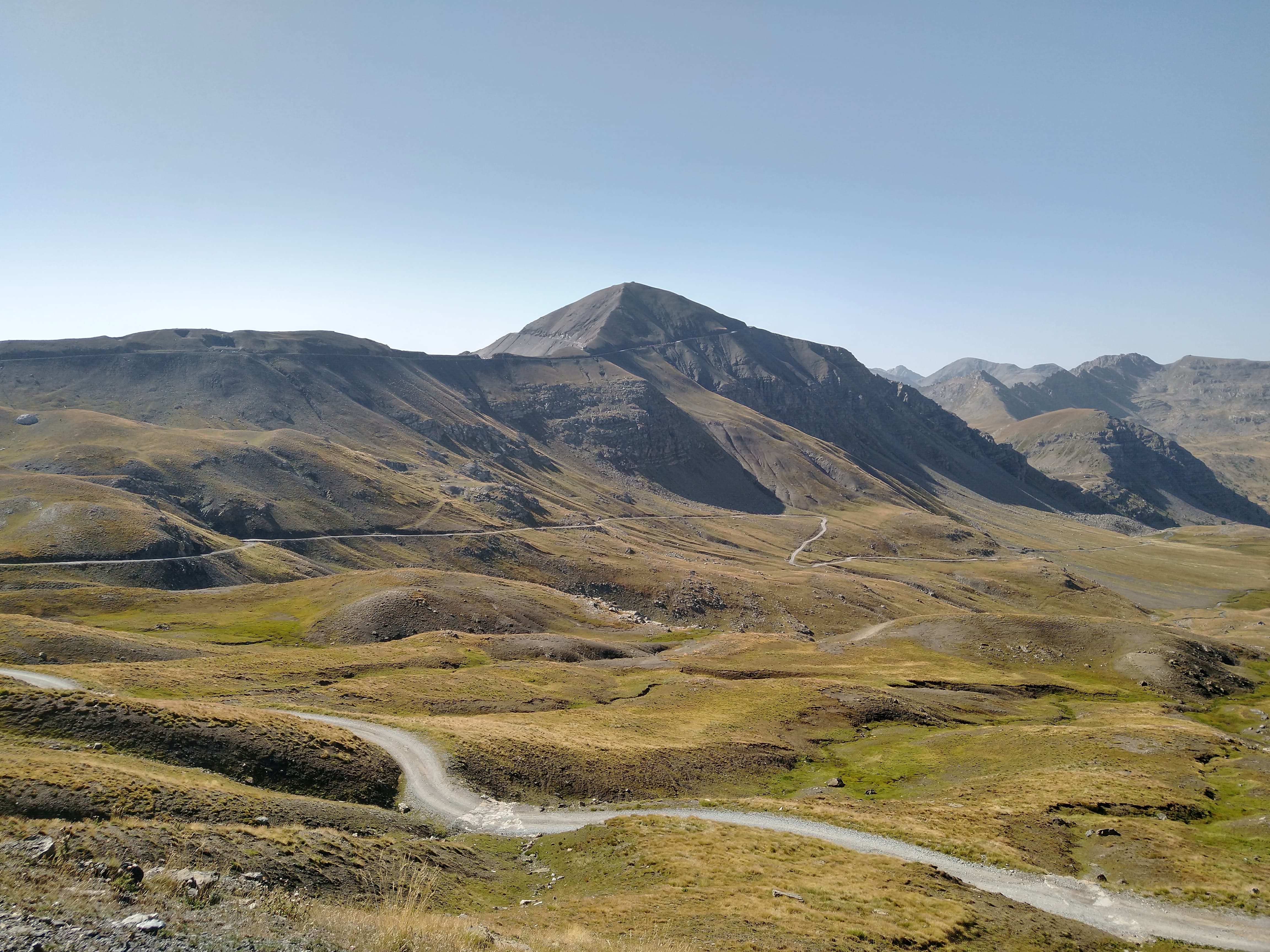
Needless to say that this is a loooong climb: 23 kilometers consistently between 6 and 8 percent gradient, starting at 1220 meters and finishing at 2802 meters above sea level. At the same time this length and altitude difference also makes it a real journey: first you are cycling through typical mountain agricultural farmland, followed by forest sections and impressive boulders. Eventually you emerge into a surreal “mars landscape” that is solely dominated by rock covered mountains.
The mars-like landscape surround the Bonette (in the center) - you can see that the last kilometer around the mountain is quite steep
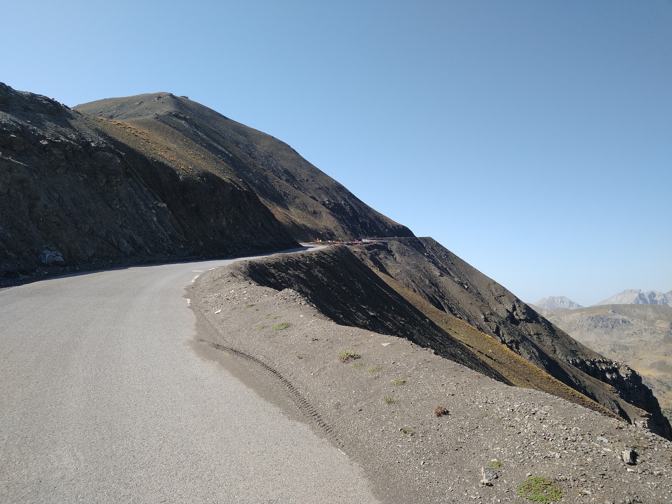
And then finally you reach the Col de la Bonette at 2715 m - but the final kilometer around the mountain has gradients up to 15% (average of 10%) which really hurts after such a long climb and especially at this altitude. However anyone who made it this far will surely still make it to the top of the mountain (2802m).
The final, steep kilometer to the Cime de la Bonette
Cime de la Bonette

In theory, from here on it was downhill for a long while, in practice however I had a strong headwind coming up the Tineé valley which meant I still had to pedal with my tired legs.
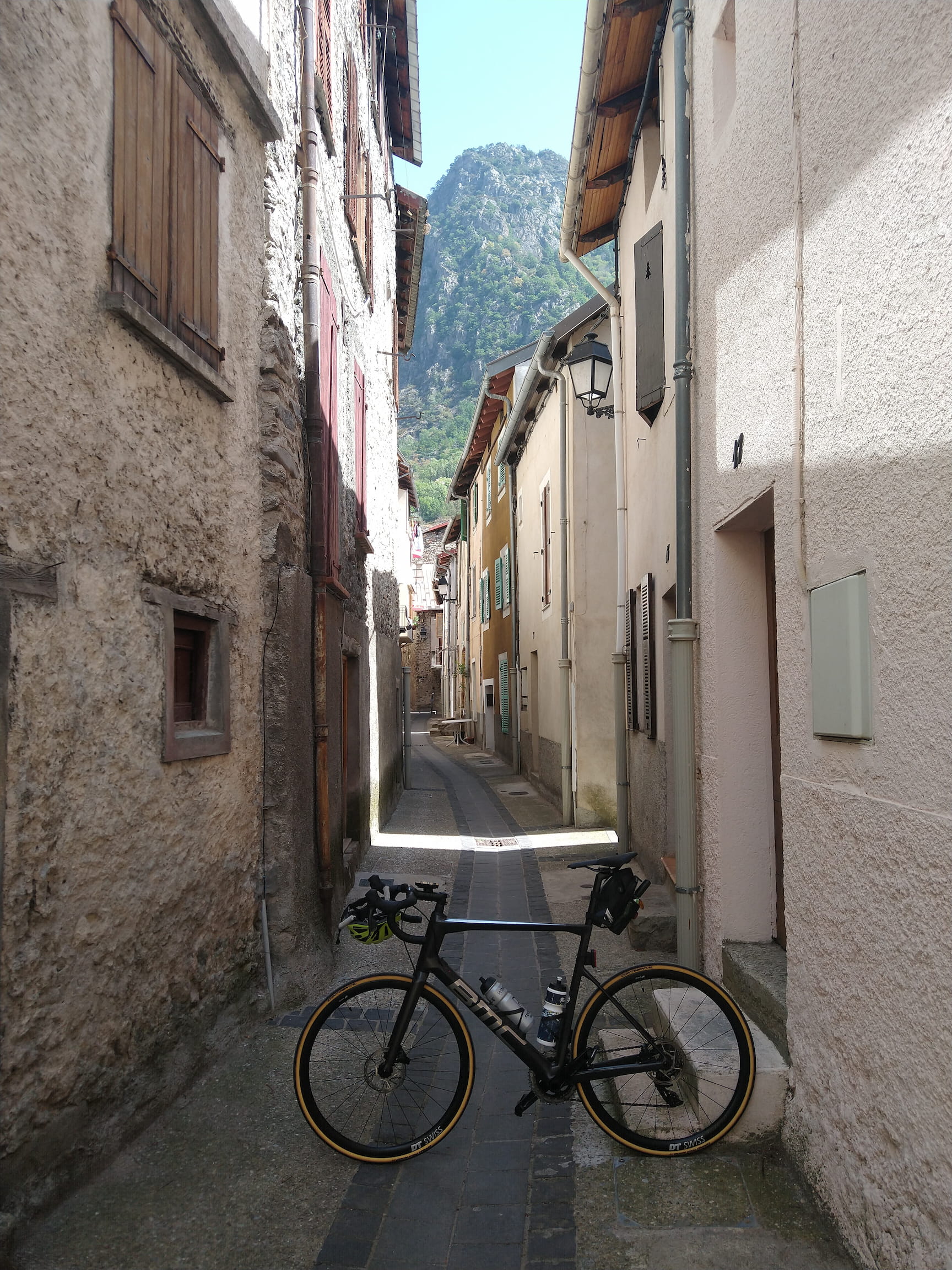
A tiny street in Isola with a bike for size comparison
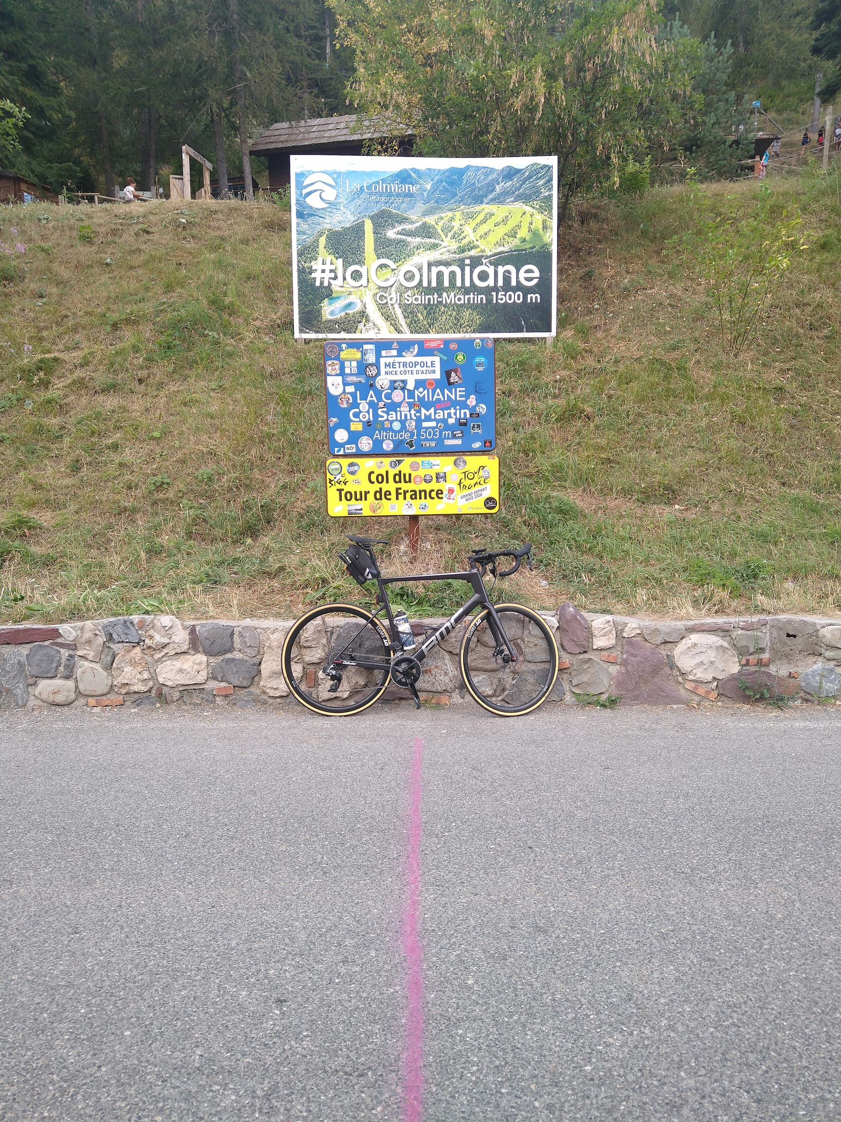
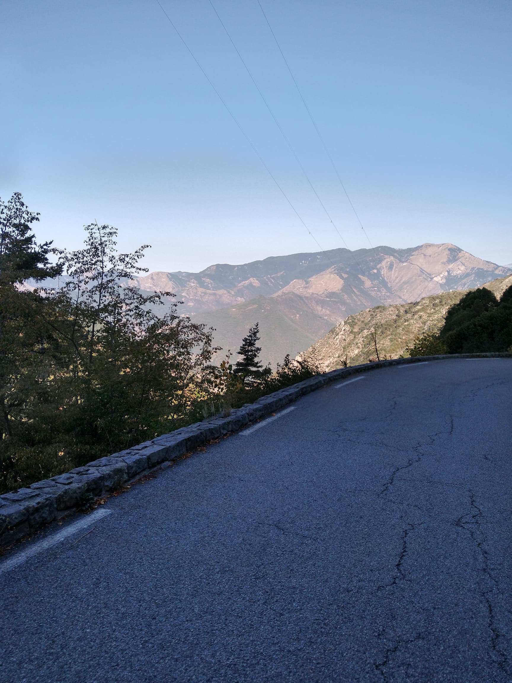
I made my lunch stop in village Isola, before approaching the last climb of the day: Col du Saint Martin from the Tineé valley.
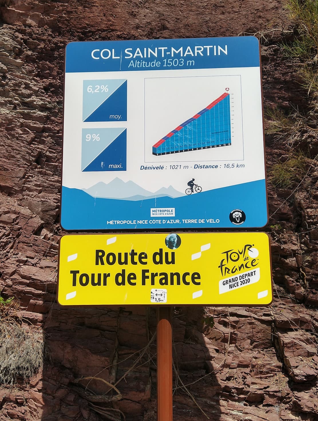
Again, since I did this climb around midday, the heat from the asphalt and burning sun was a significant challenge. Nevertheless I found this to be quite an enjoyable climb with lots of beautiful scenery around. Luckily for my tired legs, the gradients on this climb are never too steep - as long as you keep going, you’ll eventually make it to the top!
On my descent I received a few ice cold rain drops which were very welcome after this hot climb. Fortunately these were not enough to make the road wet or slippery, so I arrived safely at my accommodation in Roquebilière.
GPX Track Download: day-4-to-la-bollene.gpx# Day 5
The next morning I woke up to tackle the last stage of my journey. Since my accommodation was immediately at the foot of the climb to the Col de Turini, I did not have any opportunity to spin my legs before starting the intense climb: 16 kilometers with an average gradient of 7.2 percent, but in reality most kilometers are either 8 or 9 percent!
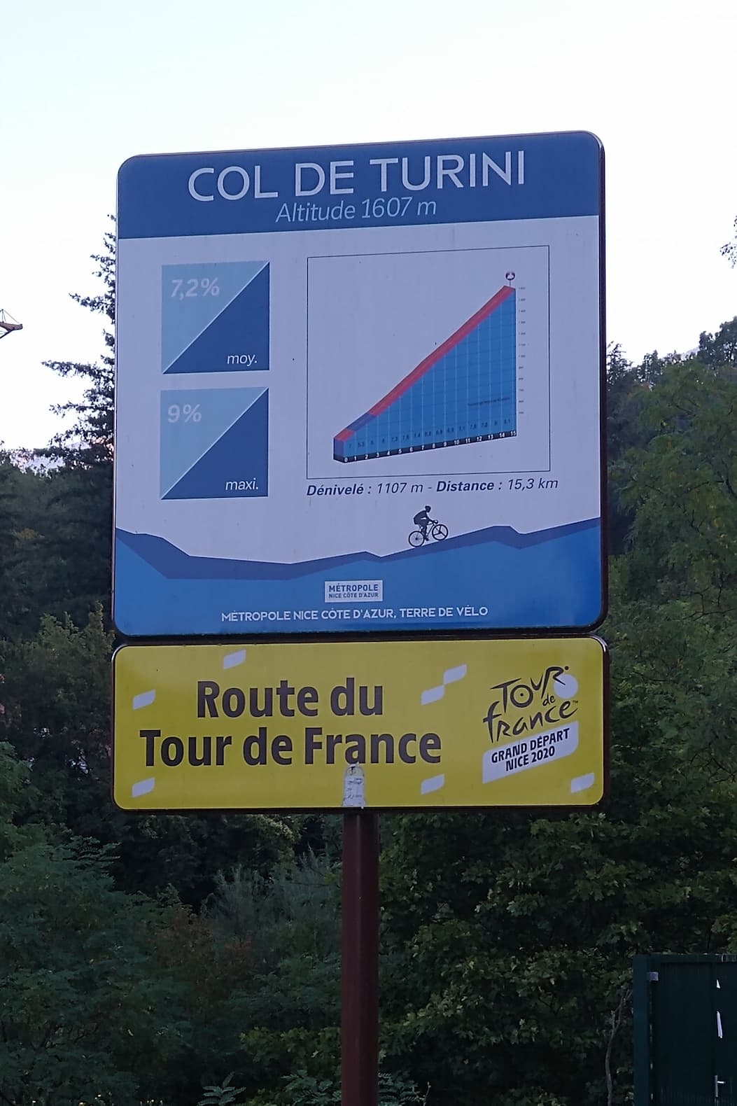
While this road is popular for cyclist, it is infamous for rally car racing: every year the Rally Monte-Carlo features a Special Stage that leads over this col - however in snowy and icy conditions! (Rallye Monte-Carlo Onboard Sebastian Loeb [2015])
Thankfully most of the route is covered by shade since I did this climb in the morning.
Compared to the other summits I passed in the previous days, the top of the Col de Turini is rather unimpressive and does not offer any views - but that’s fine since on the way up and down there are more than enough views onto the beautiful landscape.
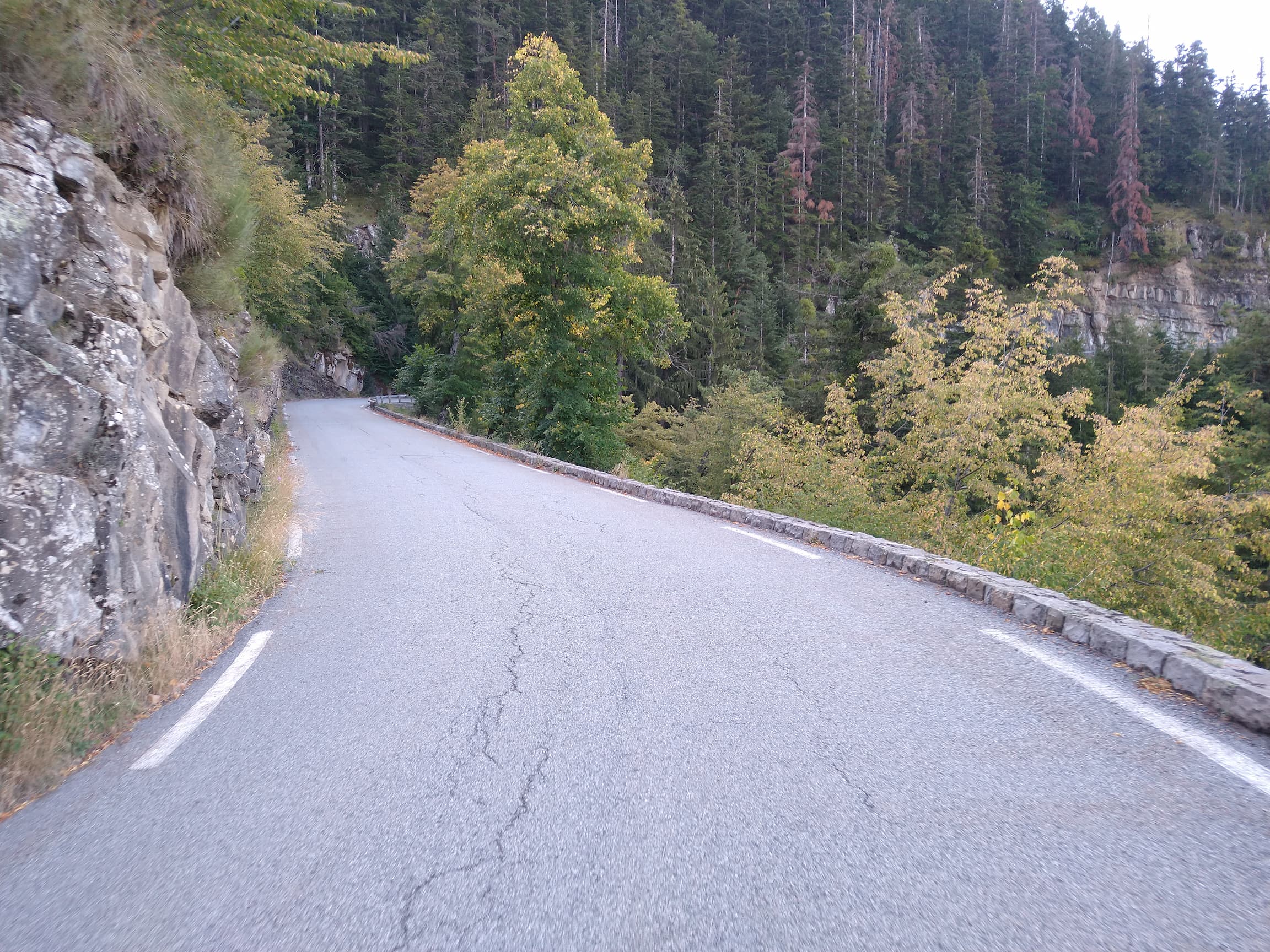
Passing through legendary Rally hairpin turns
I descended to Sospel from where I started the next ascent towards the Col de Castillon. While it is a local favorite, in my opinion it’s a rather unimpressive climb, but that’s to be expected after the epic climbs of the last few days. After passing this col I started descending once more and noticed how the road traffic got busier - and suddenly I found myself standing at the Mediterranean Sea in Menton!
Unexpected sea view in Menton
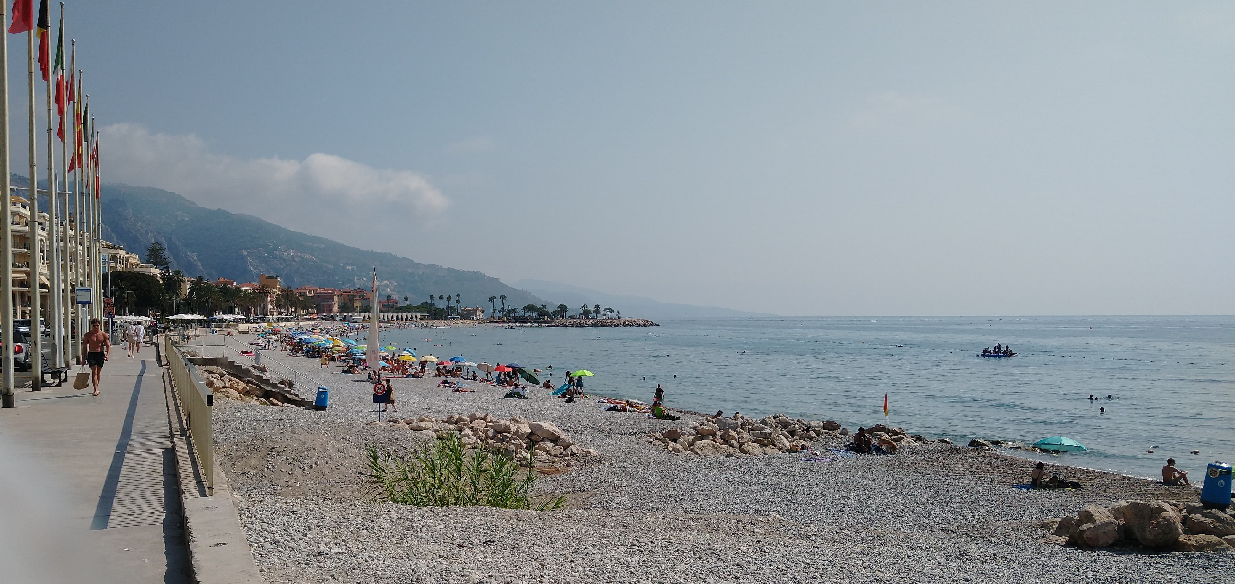
I have to admit that this view felt a bit surreal after spending so many days seeing nothing but steep mountains and deep valleys - especially since the transition from mountainous landscape to sea coast is very abrupt in this area (you can see in the background of the picture above that the mountains reach all the way to the sea).
Once I started cycling along the coast I was also shocked about the very high humidity of the air - something that I was not used over the last couple of days.
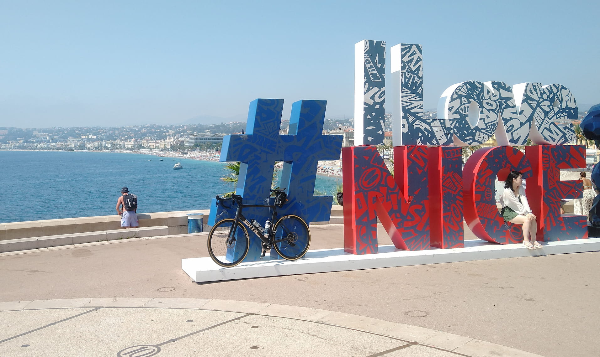
From Menton I circled around (and above) Monaco via the Col d’Eze to finally arrive in Nice, where I got myself a well-deserved, fresh ice cream.
This area of the world is really impressive because you can be in the mountains while at the same time having incredible views to the sea.
GPX Track Download: day-5-to-antibes.gpx# Day 6: Bonus
Imagine this: you wake up one morning without a plan for the day and the last five days all you have been doing was cycling - what do you do? Of course, you cycle some more because now you don’t know what else to do with your life!
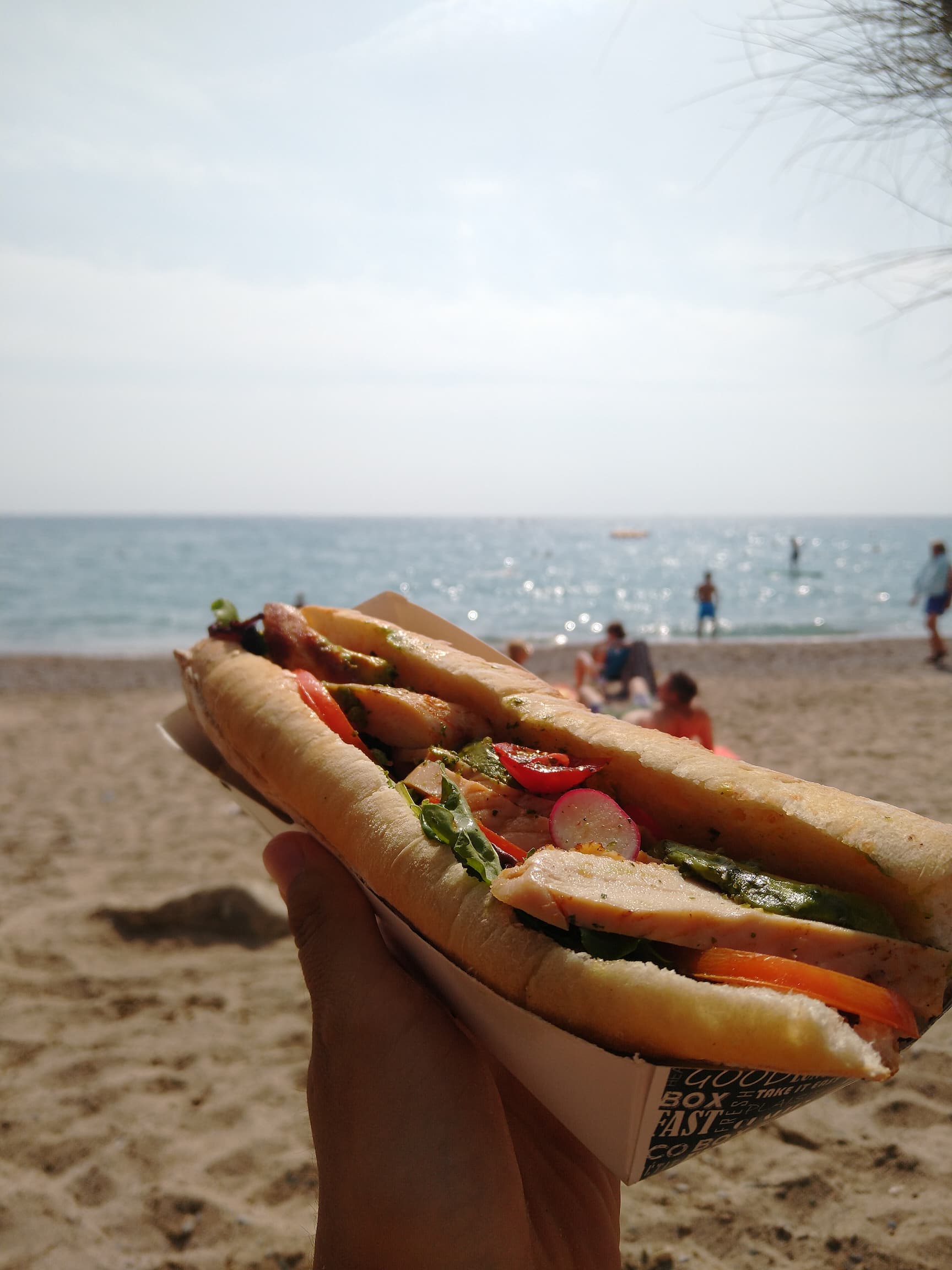
From Antibes I headed into the countryside and towards the mountains. I climbed up to the mountain village Gourdon, descended down through the Gorge du Loup (a very nice descent!) and finally arrived back at the coast in Villeneuve-Loubet, where I found bakery with glorious, huge sandwiches - bon appétit!
# Day 7: Exploring Nice
On my last day in the area I took a real rest day: I hopped on the train to Nice and wandered through the pedestrian area of the new town, the narrow alleys of the old town and of course along the Promenade des Anglais. Since you came here to read about cycling and not sightseeing, I’ll spare you the details. :-)
View over the famous beach promenade in Nice

# Conclusion
Overall it was a great experience! I was lucky to not have any technical (with the bike) or physical (with myself) issues.
I recommend the trip to any cyclist who can bear the thought of being an bike for a week (or more). If you have any questions about the trip or are planning to do it yourself, feel free to reach out to me.
Happy cycling!